Your phone already has GPS, a mapping app, and a bigger app ecosystem than any marine electronics company will ever build. So why do serious boaters still spend hundreds to thousands of dollars on a dedicated chartplotter? The answer comes down to reliability, integration, and a few capabilities phone apps fundamentally can’t match on the water.
What a Phone GPS App Does Well
Apps like Navionics Boating or similar marine navigation apps are genuinely good for casual, close-to-shore boating — they’re inexpensive, the charts are regularly updated, and most boaters already know how to use a phone interface. For a weekend on a familiar lake or a short coastal run with cell coverage nearby, a phone app is a perfectly reasonable primary tool, and even boaters with a full chartplotter often keep one installed as a backup.
Where Phone Apps Fall Short
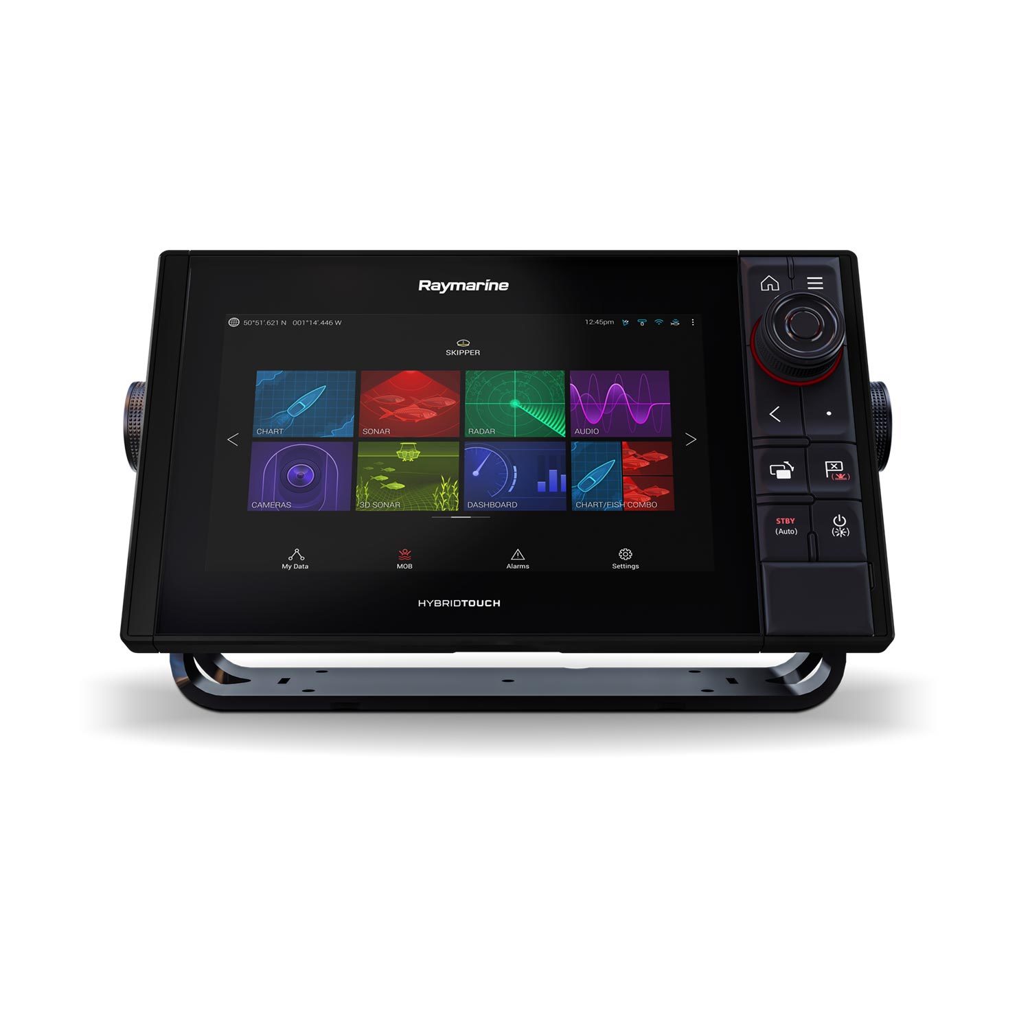
The gap shows up in conditions that matter most: direct sunlight readability (marine displays are built for full-sun visibility; phone screens generally aren’t), waterproofing (a chartplotter is rated for spray and rain; a phone in a case is a compromise), and battery life (a chartplotter runs off the boat’s power system all day; a phone burns through its battery fast with GPS and screen-on navigation running continuously). More importantly, a dedicated unit like the Raymarine Axiom Pro 9 S integrates directly with your boat’s sonar, radar, and autopilot over a single network — a phone app operates in isolation from all of that.
Signal and Cell Coverage
This is the dealbreaker for many boaters: most phone navigation apps rely at least partly on cell data for map tiles, live weather, and AIS traffic overlays, even if base charts are cached offline. Once you’re a few miles offshore or in a coverage dead zone, that functionality can degrade exactly when you need it most. A standalone chartplotter’s charts, GPS, and (if equipped) radar and AIS all run independently of cell signal.
Integration With Sonar and Radar
If you already run a fish finder or are considering marine radar, a combo chartplotter/sonar unit or a networked MFD system shares one screen and one set of controls for everything — overlaying your route on the same display as your sonar returns or radar picture. Our guide to how fish finders work covers how the sonar side of that integration functions.
Frequently Asked Questions
Can I use a phone app as my only navigation on the water?
For casual, near-shore boating in good conditions, many boaters do. For anything offshore, in variable weather, or where reliability genuinely matters, most experienced boaters treat a phone app as a backup to a dedicated chartplotter, not a replacement.
Do I need a chartplotter if I already have a fish finder with GPS?
Many combo fish finder/chartplotter units already include full navigation charting — check whether your unit has chartplotting built in before assuming you need a separate dedicated MFD.
What size chartplotter display should I buy?
Bigger is almost always better for on-water readability, especially if you’ll split the screen between charts and sonar or radar — 9-inch units like the Axiom+ 9 are a common sweet spot, while serious offshore setups often run 12-16 inches, like the Garmin GPSMAP 8616.
Does a chartplotter need an internet connection to work?
No — charts are stored on the unit or a memory card, and GPS positioning doesn’t require cell or internet signal at all, which is the core reliability advantage over a phone app.
Ready to compare actual chartplotter models? See our best marine chartplotters compared guide, or browse the full fish finder & chartplotter collection.
Leave a Reply